Path of the Gods from Nocelle: local bus and return hike
Overview
Take the local Positano–Montepertuso–Nocelle bus, follow the village approach to the Path of the Gods, walk a chosen section towards Colle La Serra and retrace it to Nocelle. Confirm the current bus stop, ticket and return before leaving Hostel Brikette. An out-and-back reduces transfers; it does not remove exposed mountain terrain.
Compare the three Path of the Gods approaches if you are deciding between this route and the Bomerano–Nocelle walk reached via ferry and Amalfi or buses through Amalfi. Choose your actual finish before buying transport.
On this page

Choose a turnaround or a different finish
The first option is the out-and-back described here. There is no required viewpoint or universal 45–60-minute turnaround: use a saved route map, current conditions, your pace and a deadline that preserves the whole return.
| Choice | Where you finish | What changes |
|---|---|---|
| Nocelle out-and-back | Return along your chosen trail section to Nocelle, then take the locally checked bus | Count both walking directions, village steps and the usable return; a shorter distance does not remove exposure |
| Continue to Bomerano | Finish the through-walk at Bomerano rather than Nocelle | Plan the different bus route, tickets, connections and daylight before setting off; your Nocelle return plan no longer applies |
| Deliberate descent towards Arienzo | Descend the roughly 1,700 steps, then reach the coastal road | A separate physical and road-access choice, not a direct staircase to Brikette or the same route as Montepertuso |
Check the local tickets and prepare for the mountain
Check the current operator, visitor ticket, sales channel, validation rules and actual stops for both Positano → Nocelle and Nocelle → Positano. The [municipal tourism office](https://comune.positano.sa.it/amministrazione/uffici/ufficio-del-turismo) directs visitors to local transport information and posted QR notices. Ask locally for the dated service you will use, not a generic seasonal frequency.
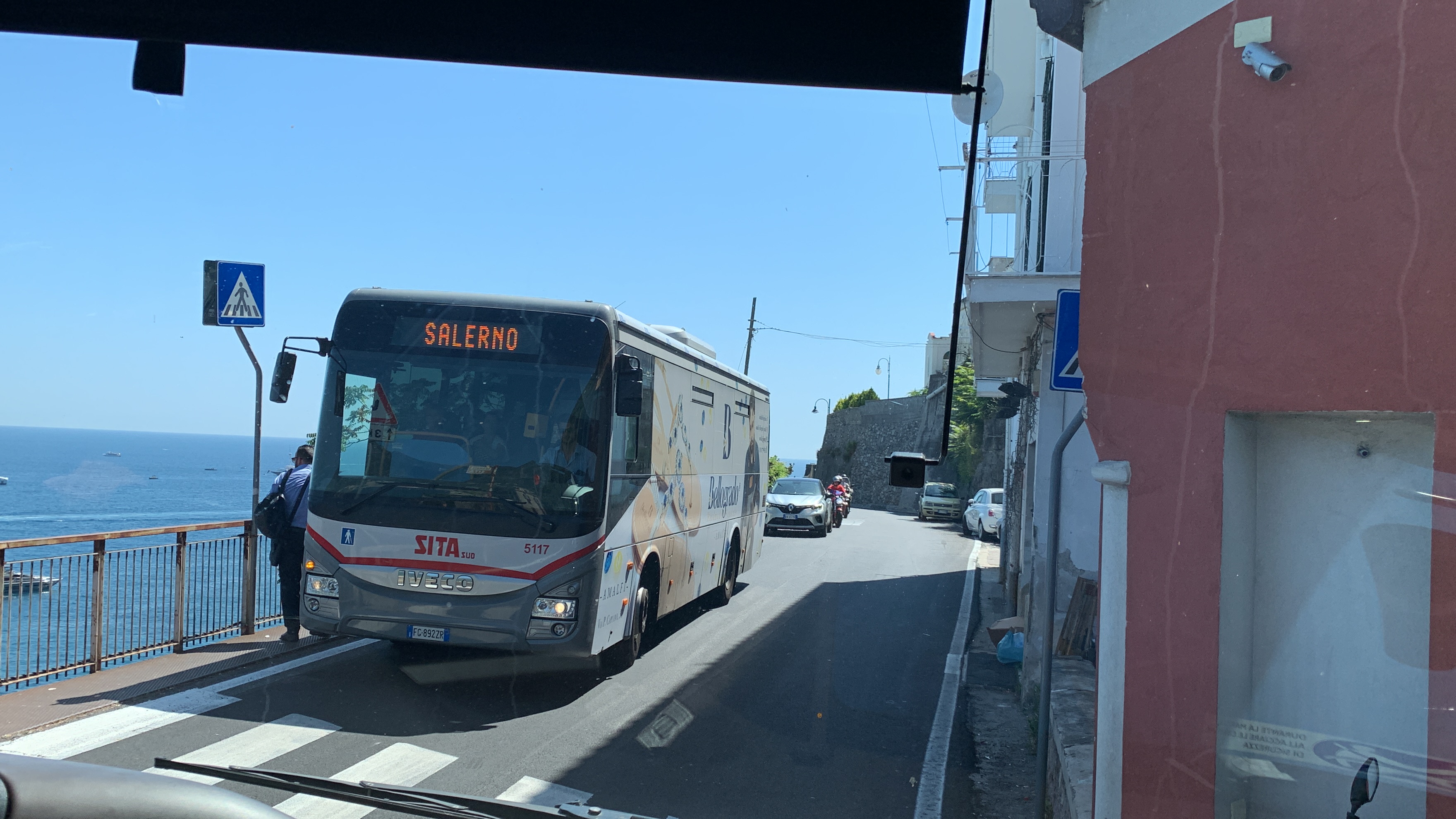
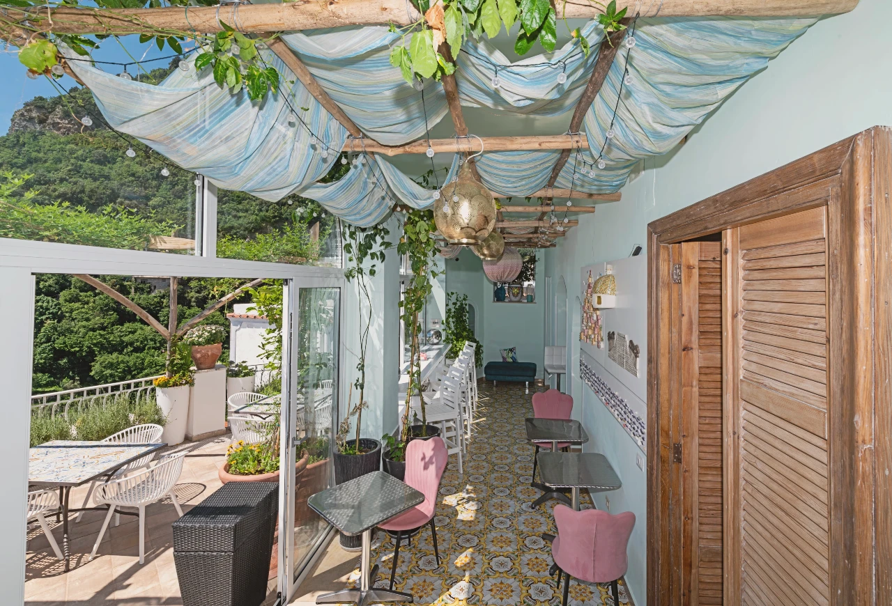
This local route is separate from SITA 5080. Do not assume that a SITA ticket, pass, ferry ticket or Travelmar shuttle product covers it. Arrange the right outbound and return tickets before boarding as required by the local operator; the café photograph below does not establish current sales or opening hours.
Carry enough water and food for your chosen route, suitable footwear, weather protection, a charged phone and an offline map. Confirm any intended café, kiosk, refill or toilet stop before relying on it. Save or share the current article and route map for use without a signal.

Confirm the correct local bus and Nocelle stop
Before leaving Brikette, confirm the actual uphill boarding location for the Montepertuso–Nocelle service and your dated departure. Do not assume every bus near Bar Internazionale goes to Nocelle, or that the name Chiesa Nuova fixes a particular side of the road or boarding position.
Confirm Nocelle with the driver, the ticket and validation requirements, and where to get off for the village approach. The existing reference image shows the car-park area; it does not guarantee today's stop position, turning pattern, space or departure.
Allow for the hostel's entrance stairs and the separate road approach, traffic, queuing and a full bus. Check a usable return rather than treating a timetable as a seat reservation.

Follow the photographed village approach to the trail
At the locally confirmed Nocelle stop, find the current signed pedestrian approach. The map below shows a reference line through the village, not a fresh field survey or a guaranteed distance. Its business labels do not establish opening hours or services.
The next image shows the railed entrance beside the Nocelle information boards; the following image shows the stair descent. In the reference sequence, go down the railed stairs and take the illustrated left-hand continuation at the bottom towards the village route. Check current signs, access and the saved map rather than applying one turn at every junction.
At the pictured ceramic sign, left points towards the Path of the Gods and right points to the stairs down to Positano. For this out-and-back, follow the trail direction, not the descent. On the return, identify the actual route back to the car-park bus stop; the sign itself does not identify that stop.


Walk towards Colle La Serra and return over the same ground
Follow current red-and-white trail markers from Nocelle towards Colle La Serra, using an offline map to identify junctions and your chosen turnaround. Do not copy left/right variant instructions written for walkers approaching from Bomerano: you are travelling the other way.
The [CAI 327 trail sheet](https://www.caimontilattari.it/en/sentiero/327/) describes the full Bomerano–Nocelle trail as 5.3 km, grade E, with a two-hour estimate in each direction. Those are full-trail walking estimates, not a promise for your selected out-and-back, breaks, village approaches, bus journeys or return to Brikette.
Choose a turnaround before starting and count the ground you must retrace. Turn earlier if weather, pace, confidence, water or daylight require it. Continuing all the way to Bomerano changes the finish and transport plan; do not improvise it while still relying on a Nocelle bus home.

Fewer transfers do not make the trail an easy walk
[Positano's official hiking guidance](https://comune.positano.sa.it/novita/comunicati/il-sentiero-degli-dei) describes moderate mountain hiking, uneven ground and exposed sections without protective barriers. Assess fitness, footing, suitable footwear and comfort with heights. A local bus running is not evidence that the hike is suitable.
Check the forecast, local alerts, current barriers, signs and closure notices before leaving and again at the approach. An undated website status icon, an old comment or the absence of a search result is not same-day access confirmation. Do not start or continue when conditions are unsuitable.
The [specific CAI 327a variant](https://www.caimontilattari.it/sentiero/327a/) avoids part of the exposure, not every difficult section or every person's fear of heights. Use its actual mapped junctions rather than choosing an arbitrary upper path. Seek qualified local hiking advice or choose another activity if unsure.
Return to Nocelle and complete the separate local journey
Retrace the selected trail and village approach to the locally confirmed Nocelle return stop. Leave time for the village steps, finding the correct boarding point and a full bus. Confirm the current departure, operator, correct ticket and Positano drop-off; do not promise reliability or longer midday/afternoon gaps from an old timetable.
Request the stop appropriate to Brikette and use the Chiesa Nuova arrival guide for the final approach and entrance stairs. The local Interno stop beside Tabacchi Cafiero on Viale Pasitea is distinct from the SITA landmark at Bar Internazionale. Confirm the actual stop for your selected local journey.
The [Agerola municipal route description](https://www.comune.agerola.na.it/vivere_il_comune/luoghi/luogo_16.html) distinguishes the roughly 1,700-step Nocelle–Arienzo descent from the route via Montepertuso. Arienzo still requires coastal-road access afterwards; neither is a direct staircase to Brikette. If a bus is full or unavailable, ask about current alternatives. Plan any walking descent deliberately with an appropriate map, daylight, traffic assessment and physical capacity.
Plan the complete out-and-back in daylight
Build your dated chain: hostel → confirmed local boarding point → Nocelle arrival → village steps → chosen trail section → turnaround → the same trail back → village and return stop → confirmed local service → hostel. Add ticket purchase, queues, traffic, breaks and a missed-bus margin.
Set the turnaround deadline from the whole return and the day's conditions, not a guaranteed half-day duration or a fixed viewpoint time. Finish the trail and village approach in daylight. A later bus departure does not create a suitable late-afternoon hiking window.
If the full chain no longer works, compare other day trips from Positano. For a hiking-focused stay, read Brikette's actual room and stay information and leave flexibility for weather rather than assuming every booked day suits the trail.
Budget for the local return and arrange bag collection
Check current fares and access conditions instead of copying old bus or drink prices or promising that access is always free. A package seller's price is not the same as an official access requirement.
If hiking after checkout, enrol in storage through the hostel's guest app. The hostel must receive your agreement to the terms and conditions, and storage is subject to availability. It is free until 15:00. Bags not collected by then automatically transfer to the porters, who charge. Read the full storage conditions and plan collection against the complete hostel-to-hostel journey.
| Item | Budget for | Confirm before relying on it |
|---|---|---|
| Outbound and return local transport | The actual tickets for your chosen operator and services, plus applicable luggage | Current fare, authorised sales, validation, route coverage and space; not an old carnet range |
| Food and water | Enough for your chosen out-and-back, with any planned stop checked | Current opening, refill or toilet access rather than assuming an open kiosk or universal absence of facilities |
| Optional help or changed transport | A qualified guide or confirmed private alternative if chosen | Actual terms and current trail access; a commercial tour package is not proof of a compulsory trail ticket |
Before setting off from Nocelle
Check current trail conditions and preserve daylight for both walking directions, the village approach and the actual local return.
Keep the Arienzo stairs separate from the bus-stop route, Montepertuso and Brikette. Do not choose an unplanned long descent simply because a bus is full.
Shorter logistics do not remove uneven ground or unprotected exposure; stop or choose another activity if weather, footing or confidence are unsuitable.
What to bring
- The correct local outbound and return tickets or confirmations, saved dated timetables and the operator's validation instructions.
- Suitable footwear and forecast-appropriate protection for uneven mountain ground, exposed sections and village steps.
- Enough water and food for the selected route without depending on an unconfirmed kiosk, café, toilet or refill point.
- A charged phone, offline route map and a shared route/turnaround plan including the separate journey back to the hostel.
What to include in your budget
- Your actual local bus tickets in both directions and applicable luggage, checking today's operator and fare rather than assuming SITA coverage.
- Food and water for the chosen route; confirm the availability and price of any intended stop.
- Optional qualified guiding or confirmed private transport, with current terms and trail access checked separately from commercial package sales.
Out-and-back and return reminders
- Confirm the current boarding stop, ticket and useful return before leaving the hostel.
- Save the village approach and trail map; identify the pictured left-to-trail sign without treating it as the bus-stop direction.
- Set a turnaround deadline and count the same walking ground twice, plus village steps and transport.
- Follow current barriers, notices and waymarks over old photo annotations or undated online status icons.
- Use the full return plan for bag collection before 15:00 or the automatic chargeable porter transfer after that time.
Step by step
- Confirm the route, tickets and return: Check trail and weather suitability, actual local boarding point, visitor ticket and usable Nocelle return; save the route and set a turnaround deadline.
- Ride the correct local service to Nocelle: Confirm destination and validation with the operator, then the current alighting point for the village approach; a café photo is not boarding proof.
- Reach the trail through the village: Use current signs, the reference stairs and the left-to-trail ceramic sign. Keep the separate Positano stair descent distinct.
- Walk the selected section and turn back: Follow open marked trails towards Colle La Serra, returning over the same ground within your planned daylight and conditions; do not improvise a Bomerano finish.
- Return locally to Brikette: Reach the confirmed Nocelle stop, use the correct ticket and service, and follow the appropriate hostel arrival route. Plan any walking alternative beforehand.
FAQs
How long should I walk before turning around?
Choose the distance and turnaround deadline from your pace, conditions, daylight and confirmed whole journey back. Count the same section in both directions and add the village approach and bus time. No universal 45–60-minute viewpoint stop or published full-trail estimate guarantees your own return window.
Is the Nocelle bus reliable?
Check the current dated service, notices, operator and capacity locally; this guide cannot guarantee a departure or seat. Allow for queues, traffic and a full bus, and confirm a usable return before starting. Do not infer fixed frequency or longer midday and afternoon gaps from an old reproduced timetable.
Can I walk down instead of taking the bus?
Only as a deliberately planned alternative. The roughly 1,700 steps towards Arienzo are a separate descent with onward coastal-road access, distinct from Montepertuso and not a direct staircase to Brikette. Check the actual map, finish, daylight, traffic and physical demands before committing; a full bus is not proof that walking is short or suitable.
Is a shorter Nocelle walk suitable for beginners or people with vertigo?
Reducing transfers or turning back sooner does not remove mountain terrain or unprotected exposure. Assess the actual route and conditions against fitness, footwear, footing and comfort with heights. CAI 327a avoids part of the exposure, not every difficulty. Seek qualified local advice or choose another activity if unsure.
Can I continue all the way to Bomerano?
Only with a changed finish and onward transport planned in advance. Your Nocelle return bus is no longer the return plan. Check the actual Bomerano connection, tickets, daylight and approach; use the route overview and detailed Amalfi bus or ferry guides to understand that different transport chain.
Does a SITA ticket cover the Nocelle bus?
Do not assume so. The Montepertuso–Nocelle local service is separate from SITA 5080. Confirm the actual operator, visitor ticket, sales point and validation instructions for both directions; a ferry or combined shuttle ticket also does not establish local-bus coverage.
How much does the Nocelle option cost?
Add the actual local tickets in both directions, any luggage charge, food, water and optional guide or private transport. Confirm present fares, inclusions and access conditions. Old carnet or kiosk price ranges and a seller's tour-package price do not establish today's transport cost or an official trail-ticket requirement.
Can I buy food or refill water along the way?
Confirm any intended shop, café, kiosk, toilet or refill point before relying on it. Carry enough food and water for the route you choose; do not assume every stop is open or that an old photograph establishes current service.
Can I leave luggage at Brikette and walk after checkout?
Enrol through the hostel's guest app. The hostel must receive your agreement to the terms and conditions, and storage is subject to availability. It is free until 15:00. Bags not collected by then automatically transfer to the porters, who charge. Plan collection against the complete return to the hostel, not just the trail walking time.