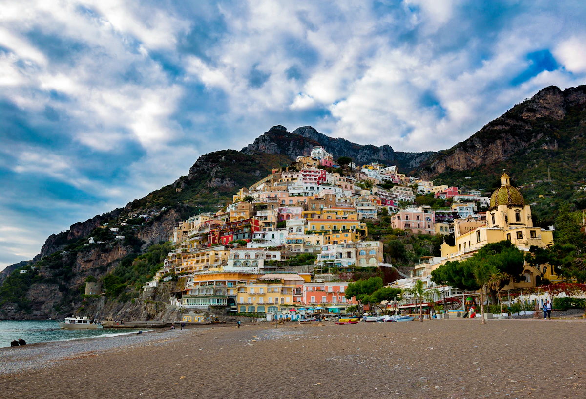
Santa Maria del Castello: Le Tese hike from Positano
Overview
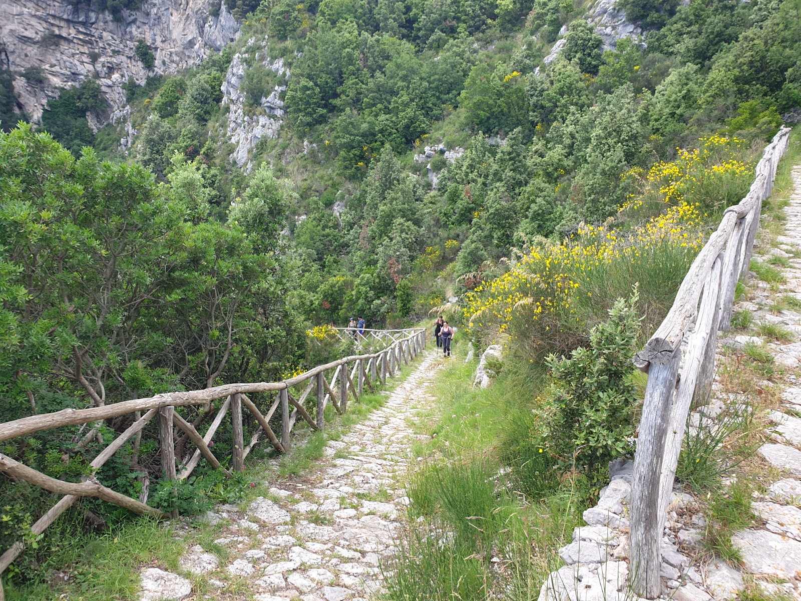
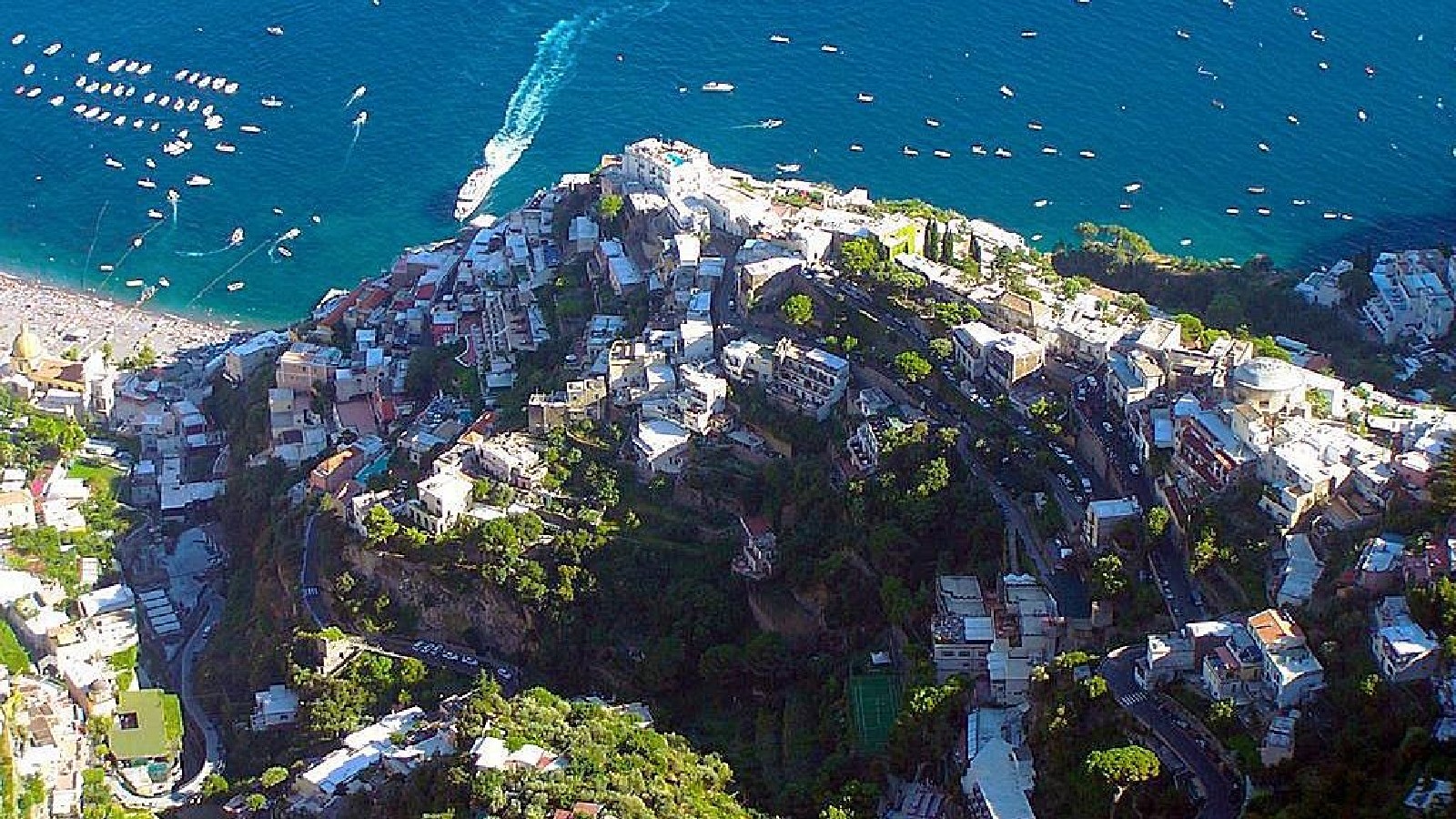
Santa Maria del Castello is the mountain village above Positano reached on the steep Le Tese route, CAI 333. This is a mountain hike with a substantial climb and a descent to plan, rather than a short viewpoint stroll. Start by checking access before choosing it as a day out from Hostel Brikette.
Access check, 26 October 2026: a dated local report relays a municipal warning against excursions around Tese–Fiume Valle Pozzo after the recent fire and rockfall risk. We have not confirmed a later clearance for this route. Ask the municipal tourism office for current advice before setting off; the planning information below is not confirmation that the trail is open.
On this page
Check the reported Tese warning before setting off
[Il Quotidiano della Costiera reported on 1 October 2026](https://iqdc.eu/positano-allerta-caduta-massi-sui-sentieri-dopo-lincendio-della-notte/) that the municipality strongly discouraged walks and excursions between Tese and Fiume Valle Pozzo in the Aquolella–Acqua del Dragone area because of rockfall risk following a fire. The report also asked accommodation providers to inform guests. This is a dated report of municipal advice, not a new official reopening notice.
Before using Le Tese, contact [Positano's municipal tourism office](https://comune.positano.sa.it/amministrazione/uffici/ufficio-del-turismo) and check current local notices, barriers and conditions for your actual route. Do not approach an affected or restricted path while that advice remains in force. If you cannot establish that the route is suitable and permitted, choose another activity.
The CAI route sheet has an undated status icon. That icon, old photographs, earlier trip reports or a missing search result do not establish same-day clearance. The public sources checked for this article did not confirm a later reopening; absence of that confirmation is not a claim that a particular formal closure order remains legally in force.
What is Santa Maria del Castello?
Santa Maria del Castello is in Vico Equense, above the Positano side of the mountains. The [CAI 333 route sheet](https://www.caimontilattari.it/en/sentiero/333/) identifies Corvo in Positano as the lower trailhead and the CAI 300 junction at Santa Maria del Castello as its upper endpoint.
Use those figures to understand the climb, not to promise a door-to-door duration. The upper junction is not a guarantee that every onward viewpoint, business or connecting trail is accessible.
| Route measure | CAI 333 reference | What it covers |
|---|---|---|
| Distance and grade | 2.0 km, hiking grade E | The Corvo–Santa Maria del Castello trail, not a complete hostel round trip |
| Height and climb | Corvo 240 m; upper junction 652 m; listed ascent 424 m | Trail-sheet endpoints and accumulated ascent, not an exact elevation for every village viewpoint |
| Walking estimates | 1 hour 20 minutes uphill; 1 hour downhill | Published trail estimates before hostel approaches, pauses, a village visit and current conditions |
Why choose this hike rather than another day out?
When the route is confirmed suitable, Le Tese offers a direct climb from the Positano side and a different view down over the town. It can avoid travelling through Amalfi to start a hike, but it replaces those transport legs with a sustained climb and descent. Views depend on visibility; there is no guaranteed panorama within 15 minutes of leaving the hostel.
Compare the Path of the Gods route choices or other day trips from Positano. Choose for the route you can complete in the day's conditions, rather than a promise of better views, solitude or fewer crowds.
| Choice | What you are choosing | Plan before committing |
|---|---|---|
| Le Tese out and back | Corvo to Santa Maria del Castello and the same trail down | Current access, steep ascent and descent, hostel approach and daylight |
| Path of the Gods | A different mountain route with different start and finish options | Actual trail conditions, exposure and the full transport chain; not an automatic easier or safer substitute |
| Another Positano day out | A plan that can avoid this affected mountain area | Current access and suitability of the activity you actually select |
Who should reconsider the climb?
Consider both the ascent and the steep return on steps and uneven ground. Assess fitness, footwear, balance, confidence around drops and the ability to descend when tired. Neither a shorter walk nor turning around early removes the need to check the approach and mountain conditions.
Check weather and current restrictions. Avoid an unsuitable combination of heat, rain, wind, poor visibility, unstable ground or insufficient daylight. An early start does not override a warning or make every summer morning suitable; a fixed 11:00–16:00 rule is not a safety guarantee outside those hours.
If you are unsure about the route, ask a qualified local hiking professional before committing. Treat any extension onto the mountain network as a separate plan with its own difficulty and access checks, not an improvised continuation.
Find the correct Corvo trailhead and follow CAI 333
Only use these planning notes after the access check above. The CAI sheet places the Corvo trailhead on a staircase leaving the Positano–Montepertuso road. Save the [official CAI 333 map](https://www.caimontilattari.it/?edmc=2506) and identify the road-to-trail connection before leaving Brikette.
The hostel approach includes stairs and a road connection before the mountain trail. Confirm the actual pedestrian approach to Corvo locally and on your saved map. At a road crossing, check traffic and the real continuation before proceeding; the article's old sequence of unnamed left and right turns has not been freshly field-verified.
Follow the confirmed CAI 333 route from Corvo towards Santa Maria del Castello. The mapped 331b junction and the upper CAI 300 junction are different route decisions: do not choose every uphill branch simply because it climbs. The CAI sheet notes missing vertical signage, so a saved route and navigation ability matter.
Stay with the selected route and observe current barriers and notices. If you cannot identify the continuation or conditions no longer fit the plan, turn back while you can complete the known return. Do not treat an old track or this description as permission to cross a closure.
Treat viewpoints beyond the village as a separate decision
The upper CAI 333 junction is not itself a verified instruction to enter every grassy area or cliff-edge viewpoint. Confirm the current public route, any restrictions and the exact place you intend to visit in the village; roads at the top can carry traffic.
Do not follow an unmarked grassy spur towards an edge just because an old guide describes a view. Keep well back from exposed edges, use permitted paths and stop if footing, visibility or confidence are unsuitable. The old claim of a specific drop of several hundred metres was not measured for this review.
A photograph is a record of a view, not proof of today's access or protection. A village visit without an extra lookout detour is a valid endpoint; allow time to retrace the trail rather than feeling obliged to reach a particular photo spot.
Plan the descent and the full return to Brikette
For an out-and-back, retrace the confirmed CAI 333 route to Corvo, then the separately checked hostel approach. Include fatigue, uneven steps, breaks and the road crossing. Finish the mountain and approach sections in daylight; the published downhill estimate is not your complete return time.
Do not improvise a loop through Vallone Pozzo or Montepertuso. [CAI 331](https://www.caimontilattari.it/sentiero/331/) includes a demanding Vallone Pozzo section rated EE, while [331b](https://www.caimontilattari.it/sentiero/331b/) is a particular connector to Le Tese. Those are distinct routes, and the reported warning also names Valle Pozzo.
If you plan any bus-assisted approach or return, confirm the actual current line, stop, ticket and departure beforehand; a stop near a trail does not establish a guaranteed service or a seat. Use the hostel arrival guide for the appropriate final approach. There is no confirmed direct bus from the upper village to Brikette in this article.
Carry provisions and confirm any village meal
Carry enough food and water for the whole route you choose, including the return and possible delays. The old 1.5-litre figure is not a universal allowance for every person, temperature or duration. Confirm any intended water point, toilet or food stop rather than relying on an old village description.
If you want a restaurant meal, choose the actual business and check opening, menu, prices and any reservation directly before setting off. This guide does not verify an unnamed restaurant's current hours, affordability or service, and a meal stop must still fit daylight and the descent.
Budget for provisions, any confirmed local transport or private alternative, and optional qualified guiding. Confirm current access requirements separately: a commercial package price is not proof of a compulsory trail ticket. For food closer to your accommodation, see the Positano food guide.
Arrange luggage and leave room for weather changes
If hiking after checkout, enrol in storage through the hostel's guest app. The hostel must receive your agreement to the terms and conditions, and storage is subject to availability. It is free until 15:00. Bags not collected by then automatically transfer to the porters, who charge.
Read the full luggage-storage conditions and plan collection against the whole trip back to the hostel, not just reaching the village or Corvo. If the timing does not work, choose another activity or make the appropriate porter arrangement.
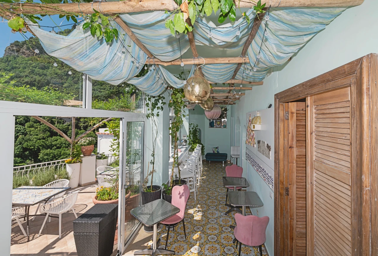
For a hiking-focused visit, check Brikette's actual rooms and stay information and keep flexibility for weather and access changes. A room booking does not guarantee that a particular trail will be usable.
Before committing to Le Tese
Resolve the reported Tese–Valle Pozzo access warning with current local advice; do not treat an undated trail icon or old route description as clearance.
Plan the climb, descent and hostel approach in daylight, carrying enough provisions and using a saved map rather than blindly taking uphill forks.
Keep away from exposed edges and do not improvise a lookout spur or a different mountain route when conditions, access or navigation are uncertain.
What to bring
- Suitable hiking footwear and weather protection for steep steps and uneven mountain ground.
- Enough water and food for your chosen whole return; confirm any planned refill, toilet or meal before depending on it.
- A charged phone, offline route map, current access advice and a shared route and turnaround plan.
- Sun protection and layers suited to the forecast; optional walking poles if you use them, without treating equipment as a substitute for suitable conditions.
What to include in the budget
- Food and water for the entire route, plus a village meal only if the actual business and prices are confirmed.
- Any locally confirmed transport and relevant luggage, checking the actual operator and service.
- Optional qualified guiding or a confirmed private alternative, with access and terms checked separately from a package price.
Climb and return reminders
- Check the reported warning before planning to enter Le Tese and follow current local restrictions.
- Use Corvo–CAI 333–Santa Maria del Castello as the route identity; do not confuse connectors or onward mountain routes.
- Set a turnaround deadline from the complete return, daylight and current conditions.
- Treat village services and viewpoint access as separate checks, not guaranteed rewards at the top.
- For stored luggage, allow the entire return before 15:00 or the automatic chargeable porter transfer after that time.
Step by step
- Confirm current access first: Ask for current advice on Le Tese and the reported Tese–Valle Pozzo warning; do not start while an affected route is restricted or unsuitable.
- Save the route and set a return deadline: Identify Corvo, CAI 333 and the upper CAI 300 junction; plan daylight, provisions, descent and the separate hostel approach.
- Confirm the hostel-to-Corvo approach: Check the actual pedestrian route, stairs and road crossing locally and on the map; do not rely on unverified unnamed turns.
- Follow the confirmed CAI 333 ascent: Use the actual mapped trail and present markings, distinguishing 331b and other forks rather than always choosing uphill.
- Choose a permitted village endpoint: Confirm any meal or viewpoint separately; keep back from drops and do not enter an unmarked grassy spur for a photograph.
- Retrace the planned descent: Return on the confirmed trail to Corvo in daylight without improvising a Vallone Pozzo or Montepertuso loop.
- Complete the hostel return: Allow for the final road approach and entrance stairs, and collect any stored bags within the agreed conditions.
FAQs
How long does the Santa Maria del Castello hike take from Hostel Brikette?
CAI's 333 sheet estimates 1 hour 20 minutes uphill and 1 hour down between Corvo and the upper village junction. Add the separate hostel approach, pauses, village visit, conditions and return to Brikette. These are trail estimates, not a door-to-door promise or a guaranteed view after 15 minutes. Check access before planning to use the trail.
How strenuous is the Santa Maria del Castello hike?
It involves a sustained climb and descent on steep steps and uneven mountain ground. CAI lists 424 m of ascent on trail 333, grade E. Assess your fitness, footwear, balance and ability to descend tired. Comparing it with one version of the Path of the Gods does not establish suitability for you.
When should I avoid doing this hike?
Do not go while current restrictions or warnings make the actual route unsuitable, or when you cannot confirm access. Also reconsider heat, bad weather, poor visibility, unstable ground and insufficient daylight. The dated Tese–Valle Pozzo warning needs current local confirmation; an early start or a fixed summer time window does not override it.
What should I bring on the Santa Maria del Castello hike?
Use appropriate hiking shoes, weather and sun protection, a charged phone and an offline map. Carry enough food and water for your whole selected route and delays. Confirm water, toilets or food stops first; a fixed 1.5-litre allowance is not right for every temperature, duration or walker.
Is it safe to go to the lookout point?
This article cannot certify a viewpoint as safe or open. Confirm the actual permitted route, stay well back from exposed edges and do not follow an unmarked spur because an old guide or photo suggests it. The CAI endpoint does not verify every lookout beyond it; stop if footing, visibility or confidence are unsuitable.
Is Le Tese currently open?
The 26 October 2026 review found a 1 October report relaying municipal advice against excursions in the Tese–Fiume Valle Pozzo area after fire and rockfall risk. A later route clearance was not confirmed. Ask the municipal tourism office for current advice and follow notices at the approach. An undated CAI status icon is not same-day clearance; this article does not assert an unverified formal closure order.
Can I return through Montepertuso instead?
Only with a separately checked route, conditions, navigation and return plan. CAI 331 and connector 331b differ from the CAI 333 out-and-back, and Vallone Pozzo includes demanding terrain. The reported warning also names Valle Pozzo. Do not improvise a loop or assume a bus connection after reaching another village.
Can I have lunch or refill water in the village?
Confirm the actual business or water point before relying on it, including opening and prices for your date. Carry sufficient provisions regardless and leave time for descent and daylight. This article does not verify a particular restaurant's current service or promise affordable food.
Can I leave bags at Brikette and hike after checkout?
Enrol through the guest app. The hostel must receive your agreement to the terms and conditions, and storage is subject to availability. It is free until 15:00. Bags not collected by then automatically transfer to the porters, who charge. Plan collection against the entire trip back to the hostel.